 Image 1 of 5
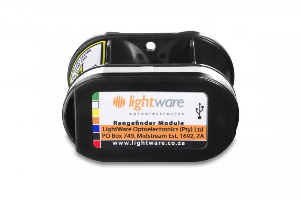 Image 2 of 5
 Image 3 of 5
 Image 4 of 5
 Image 5 of 5
Code: LW-01-01-SF11-C
The SF11/C microLiDAR™ is a long-standing preferred above ground altitude sensor. With solid support from autopilot platforms, this 100m sensor has proven the test of time.
Package includes:
1 x SF11/C LiDAR sensor
1 x communications cable
1 x USB to micro-USB cable
Applications
AGL (Altitude above ground level)
Position hold
Terrain following
IoT sensor
Assisted take-off and landing
Specifications
Measuring range: 0.2 … 100 m / 0.6 ... 328 ft
Update rate: 20 readings per second
Communication: USB, Serial UART and I2C (3.3 V TTL, 5 V tolerant)
Operating temperatures: -10° ... 50 °C / 14° ... 122°F
IP rating: Unit is IP40. Front face is IP65
Weight: 29.96 g / 1.06 oz
Form factor: 30 mm x 56 mm x 50 mm / 1.2 in x 2.2 in x 2 in
Power supply: 4.5 V ... 5.5 V
Integration: PX4, ArduPilot, Arduino, Raspberry Pi and LightWare Studio
Refer to the Product Guide for more details.